Living in Palm Coast Town Center: A Renter’s Guide
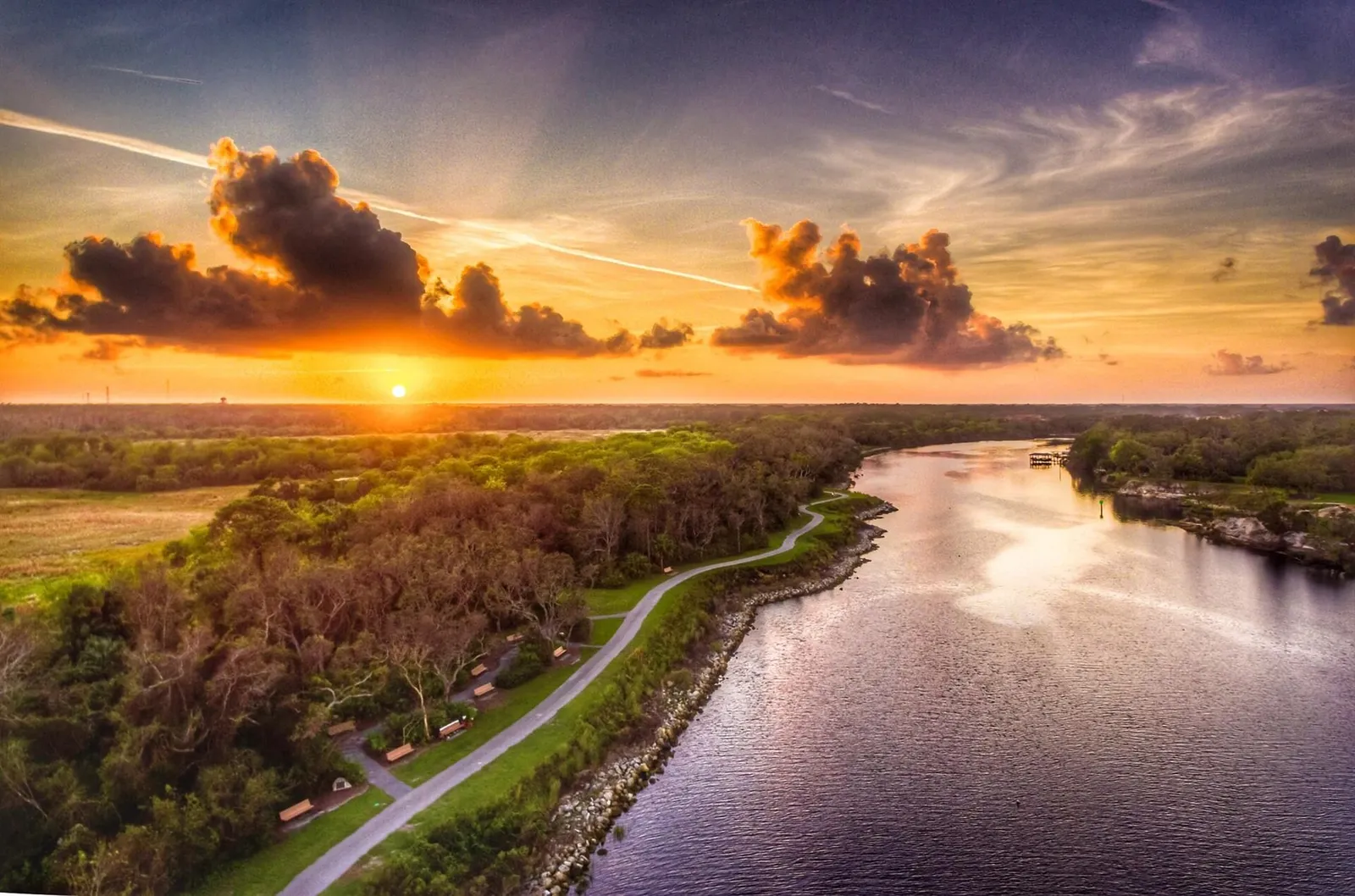
Living in Palm Coast Town Center puts recreation, entertainment, medical care, and several everyday errands fairly close together, though most renters will still need a car. Some addresses are convenient for walking to Central Park, The Stage, a restaurant, or the Lehigh Trail. From others, long blocks, major-road crossings, incomplete pedestrian connections, or sheer distance can make even a grocery run uncomfortable.
Evaluate the exact address instead of relying on the words “Town Center” in a listing. Map the routes you expect to use, then test them on foot and by car before signing a lease.
What Palm Coast Town Center actually means
A district, not all of central Palm Coast
Newcomers sometimes use “Town Center” for almost anything near Belle Terre Parkway or State Road 100. Locally, the name refers more specifically to the mixed-use district around Central Park, Central Avenue, Lake Avenue, City Place, Bulldog Drive, and nearby commercial and residential development.
State Road 100 is the main east-west commercial corridor nearby. Belle Terre Parkway connects the area north into Palm Coast, and Interstate 95 is to the east. The city’s Planning Projects map helps show how development is changing around an address.
An apartment beside Central Park may support a very different daily routine from a house several turns beyond Belle Terre Parkway, even if both advertisements use the Town Center name.
Use three anchors when reading a map
I tell renters to orient themselves around Central Park, the State Road 100 commercial corridor, and the Belle Terre Parkway connection. These anchors show whether a home is close to the places you will use or only close in a broad geographic sense.
Study the route as well as the straight-line distance. A pond, drainage canal, undeveloped parcel, limited-access road, or subdivision entrance can turn a nearby destination into a much longer trip.
Why renters are asking about Town Center now
A newcomer’s question captured the tradeoff
A September 15 newcomer post asked what it is like to rent in Town Center, use local trails, and walk alone. The questions make sense. Newer housing, civic spaces, retail, undeveloped land, and regional roads sit close together here, and an area that looks connected on a map may feel less connected at street level.
No article can label every trail or block categorically safe or unsafe. Conditions vary by route, time, weather, activity level, lighting, construction, and the walker’s comfort. It is more useful to evaluate each trip on its own conditions.
Town Center is still developing
New buildings and commercial spaces can change walking and driving patterns. Construction may also bring temporary detours, truck traffic, noise, or vacant stretches between completed projects. Before counting on an advertised future restaurant or shortcut, confirm that it exists and is open now.
The official planning map is particularly useful for this. Check the parcels beside a prospective rental and ask the leasing contact about approved or active work nearby. A quiet view across an empty tract does not mean the tract will remain empty.
Your everyday errand map
Groceries, meals, and household shopping
The State Road 100 corridor is the practical errand spine for Town Center renters. It has supermarkets, restaurants, pharmacies, service businesses, and larger retail destinations. Around Belle Terre Parkway and State Road 100, you may be able to combine groceries, a prescription, and dinner in one outing.
That convenience usually applies to driving. Large parking lots, wide entrances, heat, and road crossings can make a seemingly short chain of errands unpleasant on foot. A bicycle can shorten the distance, but riders still need to inspect crossings and find out where secure parking is available.
Build a personal map with these pins:
- Your preferred full-service grocery store, not just the closest convenience shop.
- Your pharmacy and urgent-care choice.
- Your workplace or home-office backup location.
- Your most likely school, daycare, gym, or recurring appointment.
- The gas station and hurricane-supply store you would use before severe weather.
Medical care and schools require address-level checks
AdventHealth Palm Coast is on Memorial Medical Parkway near the State Road 100 corridor and is open around the clock. Town Center renters therefore have a major medical destination nearby, although their regular doctors, dentists, specialists, and veterinary care may be elsewhere in Palm Coast or Flagler County.
Families should not infer a school assignment from the neighborhood name. Flagler Schools determines assignments from the parent or guardian’s address and provides a SchoolSite Locator with boundaries, walk zones, routes, distances, and estimated travel times. Enter the precise rental address before paying an application fee.
Entertainment and community activity
The Stage at Town Center and Central Park give the neighborhood a clear focal point. The city describes The Stage as a performance and community space with restrooms and a grassy lawn. Its published hours are from 7 a.m. to 7 p.m. unless an event has been permitted, and the city lists recurring programming on the facility page.
Nearby entertainment and dining can make Town Center busy during an event and much quieter afterward. Visit on an ordinary weekday and an event evening if activity or event noise matters to you.
Trails and recreation near Town Center
Lehigh Trail is the main outdoor connection
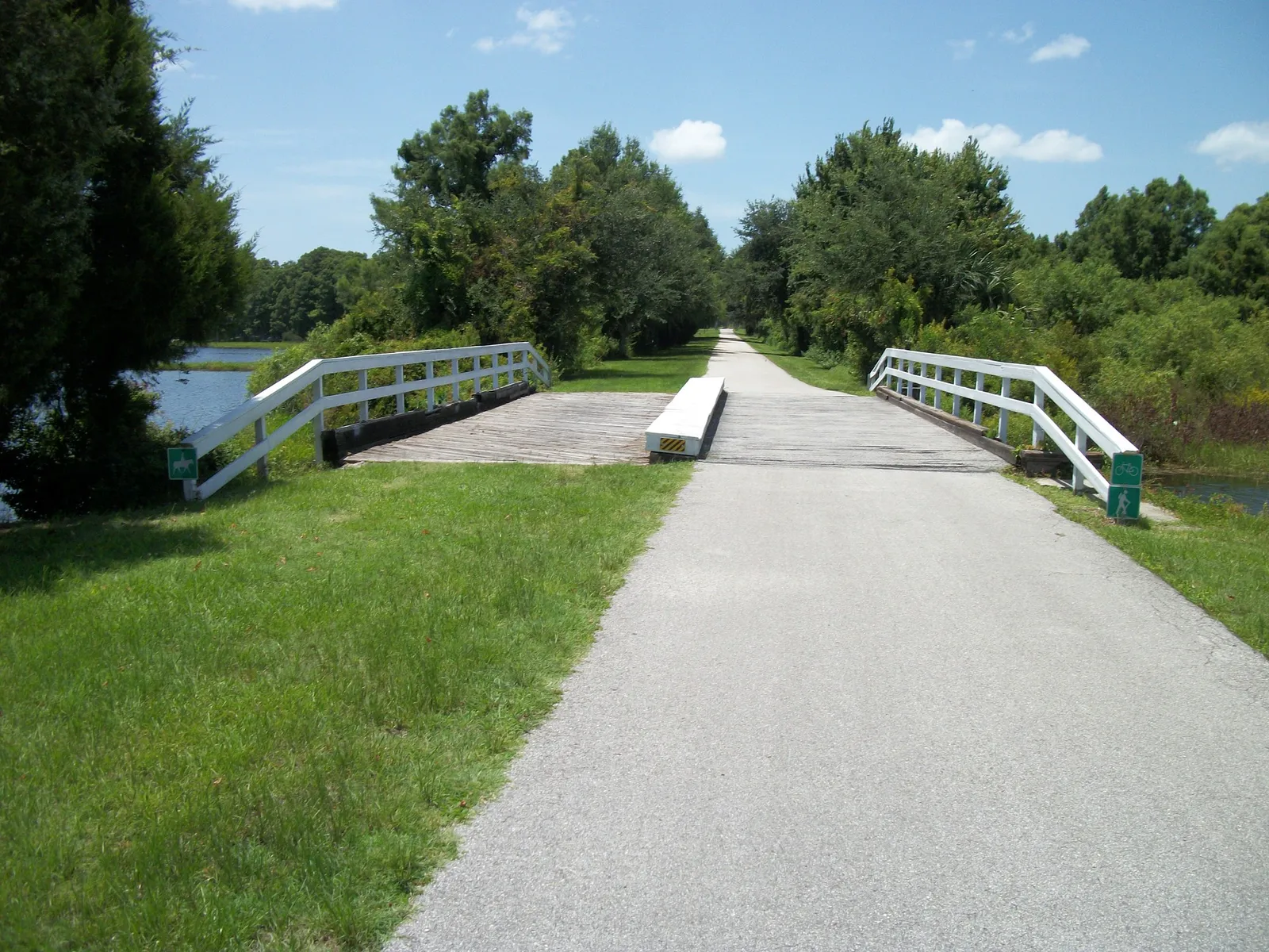
The Lehigh Trail is the most important trail in this area. According to the city’s Lehigh Trailhead guide, the paved route runs east-west for 6.7 miles, follows the canal for much of its length, and passes through Town Center and Graham Swamp Preserve. It follows an old railroad spur and continues to the trailhead on Colbert Lane.
The trail works for exercise and recreation and may help you reach another nearby destination. It is not a complete transportation network on its own. You still need a comfortable route from home to the trail and a practical connection from the trail to your destination.
The trailhead has useful facilities
The Lehigh Trailhead on Belle Terre Parkway has parking, restrooms, community gardens, and separate dog areas. The city says the parking area is lighted and publishes operating hours of 7 a.m. to 7 p.m. The dog areas have scheduled maintenance closures, so pet owners should check the current facility page before making the trip.
The trailhead is also adjacent to the Southern Recreation Center. Renters who want a regular outdoor routine may find this cluster more useful than a general claim that a property is “near nature.”
Central Park and The Stage serve a different purpose
Central Park is better suited to a local loop, picnic, or event than a long nature outing. The Stage’s lawn, restrooms, and scheduled gatherings make this part of Town Center a recognizable civic destination instead of leftover green space.
The city’s broader Parks and Recreation directory is a good starting point for comparing Town Center facilities with options elsewhere in Palm Coast. Check it for current rules, programming, and closures before leaving home.
How walkable does Town Center feel?
Recreational walking does not make an area car-free
A renter may be able to step outside for a satisfying walk and still need a car for groceries, work, school, and appointments. Town Center has paths and sidewalks in parts of the district, but the connections vary from parcel to parcel.
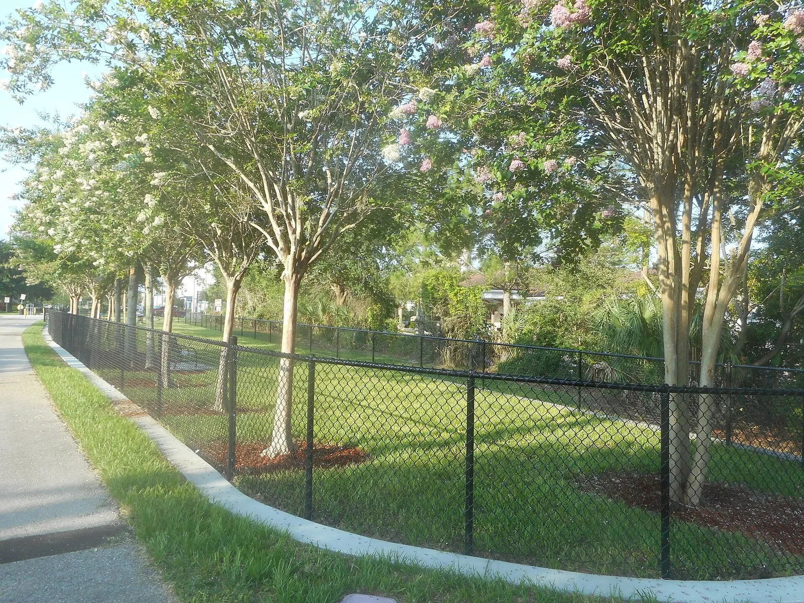
See whether the sidewalk continues all the way to your destination. At each large junction, look for marked crossings, signals, curb ramps, turning traffic, and a comfortable place to wait. A route that works in daylight may feel quite different after an evening event.
September changes the calculation
Heat, humidity, wind, and afternoon storms affect ordinary travel in Palm Coast. A route that feels pleasant early in the day may be uncomfortable later when you are carrying grocery bags. Newer roads and open development parcels may also have little shade.
During a tour, walk the route at the hour you expect to use it. Bring the bag, stroller, mobility aid, or dog you would normally have with you. Note where you could shelter if rain arrives, and watch for low spots or standing water after a storm.
Bicycles help, but inspect the full trip
A bicycle puts more destinations within reach, especially near the Lehigh Trail. Still, a recreational trail does not solve every road crossing or commercial driveway. Work out how you will move between the trail, the street network, and the parking lot at your destination.
Ask the property manager where you may store a bicycle. Outdoor racks, patio rules, stairways, and lease restrictions may matter as much as proximity to a path.
Evaluating a walking route without making safety promises
Use an observable checklist
Rather than asking only whether an area is “safe,” inspect conditions you can see and verify. I use this checklist with renters:
- Walk the route in daylight and again around the time you expect to return home.
- Confirm where lighting begins and ends, including between a sidewalk and your front door.
- Look for continuous pavement, visible crossings, blind curves, vegetation, and isolated segments.
- Check posted park hours and do not assume every trail remains open after dark.
- Notice mobile reception and save the trailhead or destination name before setting out.
- Tell someone your route, carry water, and use a weather-alert app.
- If walking alone feels uncomfortable, choose a busier time, walk with another person, or select a different route.
For current trail maintenance or closure information, the city directs users to Flagler County from its Lehigh Trailhead page. Conditions on the ground matter more than an old map or review.
Separate personal security from traffic exposure
A route may feel socially comfortable while exposing a walker to difficult intersections, turning vehicles, or poor visibility. A quiet section may have excellent separation from traffic but very little activity. Consider the two issues separately.
Call emergency services in an emergency. For non-emergency questions about a park or city facility, use the contact information published by the responsible agency instead of relying on neighborhood rumor.
Commuting and the trips that usually need a car
Within Palm Coast
Town Center is well placed for reaching State Road 100, Belle Terre Parkway, and Interstate 95. Trips to the northern Palm Coast Parkway commercial areas, neighborhoods west of U.S. 1, waterfront parks, and coastal sections still generally work best by car.
Do not rely on a generic commute estimate from a listing. Test the route from your door to your parking space during the morning or afternoon period when you expect to travel. School traffic, construction, an event, or a long subdivision exit can make a noticeable difference.
Flagler Beach, Bunnell, and Interstate 95
State Road 100 is the main route east toward Flagler Beach and west toward Bunnell. Interstate 95 provides north-south access, although reaching and crossing the interchange can take as much time as the highway portion.
If you work in Flagler Beach or Bunnell, drive the route before signing. For a commute beyond Flagler County, test it on a normal workday and identify an alternate route for crashes, construction, or severe weather. For additional neighborhood comparisons, browse the Palm Coast renter guides.
Public transportation is limited and eligibility-based
Flagler County does not have a conventional, frequent city-bus network that most Town Center renters can use spontaneously. Flagler County Public Transportation operates an eligibility-based, shared, door-to-door service focused on qualifying older adults, people with disabilities, and residents meeting its income criterion.
The county publishes a fare of $2 each way and advises approved riders to book four to five days ahead. Eligibility, scheduling, and service limits apply, so a renter who cannot drive should contact the transportation office before choosing a property.
What to test during a rental tour
Run a door-to-destination experiment
Choose the destinations you expect to visit every week, then start the timer at the rental’s front door. Count the walk to your vehicle, the subdivision exit, the parking search, and the final walk. Repeat the test for a grocery run, workplace, school, trail access point, and evening meal.
For a destination described as walkable, follow the exact pedestrian route. A straight line on a map is no substitute for a legal, continuous path.
Inspect the home as carefully as the neighborhood
- Traffic and noise: Visit during a weekday commute and after dark. Listen for State Road 100 traffic, events, construction, and neighboring mechanical equipment.
- Lighting: Check parking areas, entrances, mailboxes, sidewalks, and the path to waste facilities.
- Mobile and internet: Make a call inside the home and verify service at your exact address with the internet provider. Ask whether equipment or installation is already present.
- Drainage: Look for staining, damp odors, eroded soil, blocked drains, and water marks. Revisit after rain when possible.
- Parking: Read the lease and community rules for assigned spaces, guests, work vehicles, trailers, and overnight parking.
- Development: Compare nearby vacant parcels with the city planning map and ask about active construction.
Make the lease match your routine
If trail access or quiet evenings influenced your decision, ask direct questions before signing. Confirm who maintains the landscaping, how repairs are reported, where packages are delivered, and whether community facilities have separate rules.
You can compare current Palm Coast rental options, but availability does not show whether a home fits your transportation needs. For context on a typical three-bedroom layout elsewhere in Palm Coast, see Palm Coast Paradise Unit A, then perform the same address-specific route checks for any property you consider.
A simple decision rule for Town Center renters
Choose the address by your hardest recurring trip
If you drive, identify the trip most likely to frustrate you, such as a daily commute, school pickup, or frequent medical appointment. If you hope to walk or cycle, find the route with the most difficult crossing or weakest sidewalk connection. Judge the property by that trip instead of its easiest weekend outing.
Town Center may suit renters who value nearby recreation, access to State Road 100, community events, and a growing mixed-use district. It is less likely to suit someone who expects to complete every routine errand without a vehicle, unless the exact home and daily destinations line up unusually well.
If you want help comparing Palm Coast addresses by trail access, errands, and actual driving routes, contact Tyler at Oasis Rentals at 386-516-5774 or Tyler@386rent.com. Bring your workplace, preferred grocery store, school needs, and favorite outdoor routine so the conversation begins with how you live day to day.
Sources
- Reddit Palm Coast: “Newbie with questions”
- City of Palm Coast: The Stage at Town Center
- City of Palm Coast: Parks and Recreation
- City of Palm Coast: Lehigh Trailhead
- City of Palm Coast: Planning Projects Map
- Flagler Schools: School Zones and SchoolSite Locator
- Flagler County: Public Transportation
- AdventHealth Palm Coast
FAQ
Can you live in Palm Coast Town Center without a car?
It may work for a renter whose home, job, and essential destinations are close together, but most residents should expect to drive for groceries, work, schools, medical appointments, and trips outside the district. Flagler County’s public transportation program is eligibility-based, not a frequent city-bus network for general use.
Is Lehigh Trail accessible from Town Center?
Yes. The city says the 6.7-mile Lehigh Trail passes through Town Center and Graham Swamp Preserve. Access from a particular rental still depends on sidewalk continuity, crossings, distance, and the property’s exact location.
Is it safe to walk alone in Town Center?
No source can guarantee personal safety for every person, route, or time. Inspect the route in daylight and after dark, check the lighting and crossings, observe activity levels, confirm park hours, monitor the weather, and choose a different time or walk with someone if conditions feel uncomfortable.
What errands are near Town Center?
The State Road 100 and Belle Terre Parkway area has supermarkets, pharmacies, restaurants, services, entertainment, and medical destinations. Many are nearby by Palm Coast standards, but large roads and parking lots often make driving more practical than walking.
How should families verify school assignments?
Enter the exact rental address in Flagler Schools’ SchoolSite Locator. The district states that assignments are based on the parent or legal guardian’s address, so families should not assume zoning from a neighborhood name.
What should I test before renting in Town Center?
Test the actual trips from the front door to work, groceries, school, and trail access. Also inspect nighttime lighting, weekday traffic, mobile reception, internet availability, drainage after rain, parking rules, event noise, and nearby planning projects.
Photo credits: Andyrkellergmail / CC BY-SA 4.0; DanTD / BY-SA 3.0; DanTD / CC BY-SA 4.0